Time to rethink the borders of the Middle East map
by Eric R. Mandel | 12/27/2024
Most Americans are unaware that today’s Middle East is an artificial construct created by British and French diplomats (Sykes and Picot) after World War I to advance their empires’ economic and political interests. They carved up the Middle East map with the stroke of a pen, and we have lived with the consequences ever since.
The San Remo Conference in 1920 codified colonial interests out of the remains of the defunct Ottoman Empire. Ethnic, religious and topographical considerations were ignored or minimized.
Now, just over a hundred years later, we are at another crossroads in the aftermath of the collapse of Syria, one of the Western-created nation-states. Many wars have been fought to keep these artificial states together, but they have more compelling reasons to be divided than to stay whole. As Conrad Black wrote in Brussels Signal, “The collapse of the Assad government in Syria must rank as the final unflattering death knell of the attempts at nation-building by the victorious Allied leaders at the end of World War I.”



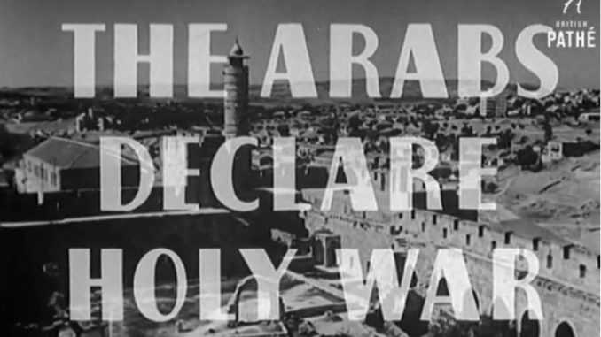 Image: Screengrab from